
Background
The Zambia Integrated Land-use Assessment (ILUA) project was implemented by the Government of the Republic of Zambia (GRZ) through the Forestry Department of the then Ministry of Tourism, Environment and Natural Resources (MTENR) between 2005 and 2008. Technical and financial assistance was provided by the UN Food and Agriculture Organization (FAO).
The main purpose of ILUA was to
- build up forest related land use resource inventories,
- support national planning capacity
- and contribute to formulating development policies.
ILUA was based on FAO National Forest Assessment and Monitoring System (NFMA) methodology, but additionally it aimed at in-depth analysis and policy dialogue between stakeholders across inter-sectoral variables that cover resource data on forestry, agriculture and livestock and their use. A second phase of ILUA named ILUA II was proposed in March 2009 and succeeded to be financed by the Government of Finland. Launched officially in November 2010, ILUA II is implemented under the umbrella of the Ministry of Lands Natural Resources and Environmental Protection. The project was designed to be implemented during 2010-2013 under the MLNREP Programme, with Technical Assistance from FAO. In 2013 an extension was approved and the project is expected to deliver at the end of 2016.
The project main outcome is strengthened capacity in planning and implementation of Sustainable Forest Management (SFM) and Reduction of Emission Deforestation and Degradation (REDD) through better information, capacity building, dissemination of information, and improved multi-sectoral dialogue. The main outputs of the project consist on the following:
- Effective means of dissemination and utilisation of the information for multi-sectoral dialogue and
- The improvement of methodological and human capacity in collecting and analysing forest resource information for Sustainable Forest Management, REDD monitoring and carbon inventory
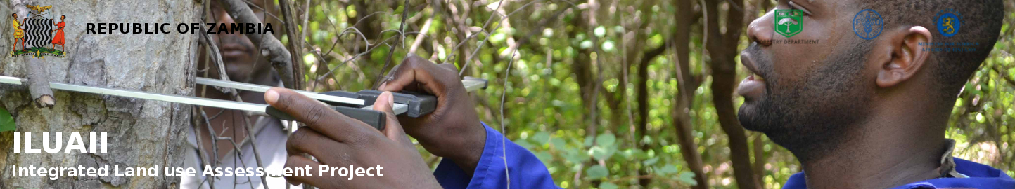
- Implementation of ILUA II - Mapping and Field Survey.
Based on the baseline national level information generated by ILUA I, the second phase (ILUA II) aims to provide information at the provincial level on the trends in forest change through refined methodologies and reassessment of ILUA I field plots. This regional information is an important tool for local development and Sustainable Forest Management (SFM). The ILUA II experience has upgraded the capacity of related institutions in good quality data collection. It has also supported planning for Sustainable Forest Management, formulation of development policies around the emerging issue of implementing Reduced Emission from Deforestation and Degradation (REDD+) and provided information for international reporting (National Communications to the UNFCCC).

